
When should you use this style?
Choose LiDAR Survey when a spatial explanation needs measured point clouds, classified layers, terrain or an anchored cross-section.
How do you build the picture and motion?
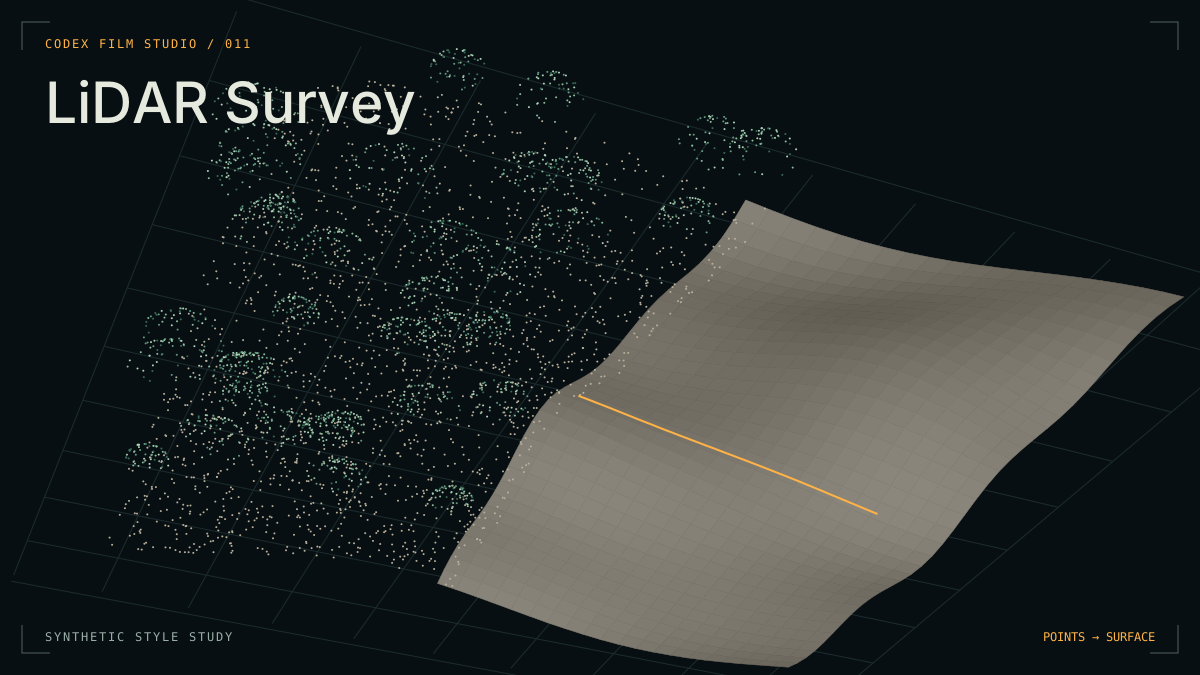
Preserve measured point positions. Move a continuous camera through the cloud, use one front to reveal the corresponding surface, and reserve amber hairlines for sections and readings. The page’s synthetic study illustrates this grammar without representing a real survey.
What should you check before delivery?
Verify source permissions, acquisition dates, units, classification and coordinate systems. Measure on undistorted data, label interpretations and display exaggeration, then inspect the encoded points, labels and motion and listen to the mix.
How do you start a production?
Open the cloned repository in your coding Agent. Copy the prompt and replace the brackets.
Use the lidar-survey style to make a [duration] film about [subject] for [audience], with narration and captions in [language]. Handle project setup, production and review, then deliver an MP4 and editable project.