
Keep the returns honest.
In a survey film, each point stays at its measured position. Sparse areas and missing returns are part of the evidence.
THE FINISHED FILM
STYLE 011 / LiDAR Survey
POINTS → SURFACE → EVIDENCEA landscape, one return at a time. Peel away the canopy. Follow a surface into the light. Let the place reveal its shape.
Watch the films ↓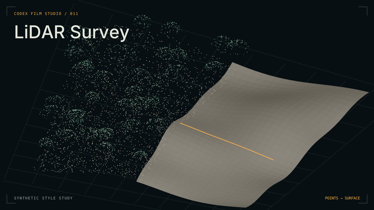
Fixed points and a moving camera make volume legible. Colour separates the ground from the canopy.
An original procedural study of this style. The terrain and vegetation are synthetic; this is not a survey of a real place.
01 / THE VISUAL LANGUAGE
The camera discovers the space. A plane separates its layers. A single reading gives the image a reason to hold.
In a survey film, each point stays at its measured position. Sparse areas and missing returns are part of the evidence.
A scan front, a descending canopy cut, a surface in raking light. Each transition explains a spatial relationship.
Use a hairline section and an anchored label. Keep the source and method close to the number; label any display exaggeration.
02 / MAKE IT YOURS
Bring a site, a question and a survey. Shape a film around what the data can actually show.
Open this repository in your coding Agent and describe your film. / 在 Agent 中打开仓库,描述你想制作的影片。
Use the lidar-survey style to make a film about [subject]. Handle project setup, production and review, then deliver the MP4 and editable project. / 请用 lidar-survey 风格制作关于[主题]的视频,自动完成项目创建、制作与检查,交付 MP4 和可编辑工程。
TRY THIS IN CODEX
Make a LiDAR Survey film about a place and survey dataset I provide. Use measured points, a deliberate canopy peel, a raking-lit surface and one clear section. Explain what the evidence supports. Keep camera, narration and sound on one timeline, then inspect and refine the result.Open the reusable prompt ↗
Included: a style guide, a blank survey-and-timeline contract and shared production methods. Each new film needs its own dataset, renderer and soundtrack.
03 / INSIDE THE STUDIO
Record the source, survey date, permission, classification, units and coordinate systems. Separate measured features from interpretation.
Plan the orbit, cutting plane, labels, quiet interval and reveal together. Fine ticks and soft sweeps give a spatial transition a sound.
Inspect point clarity, occlusion, label holds and camera motion in the encoded film. Listen to narration and mix separately.
04 / REFERENCES & CREDITS
Inspired by the LiDAR Survey visual grammar in LemoLab / Lemomo’s lemo-opuscar: fixed returns, class peeling, continuous camera movement and fine measurements. This page’s interactive study and terrain are independently authored.
Self-hosted Barlow Condensed by the Barlow Project Authors and IBM Plex Mono by IBM, under the SIL Open Font License.